Basic Satellite Imagery Interpretation
Training Lesson
Sponsors
AFRICAN SATELLITE METEOROLOGY EDUCATION AND TRAINING PROJECT (ASMET)
About this training lesson
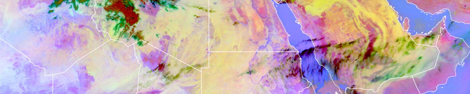
COMET's online learning platform, MetEd, is recognized internationally for the value its training lessons provide. These lessons often rely on guided interpretation of data to teach concepts and skills. The MetEd lesson Basic Satellite Imagery Interpretation teaches the basics of weather satellite image interpretation, with an emphasis on the African region. Learners identify atmospheric and surface features using three basic satellite channels and common RGB products. See below how two of these, the water vapour channel and the severe convection RGB, are introduced. The exercise afterwards uses an interactive comparison widget to help learners identify cloud heights.