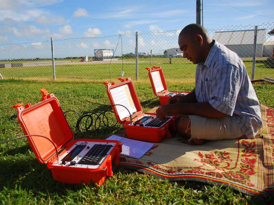
Remote Communications & Emergency Management
Providing Emergency Weather Information Everywhere
Our Innovative Capacity Development Program works to overcome barriers to emergency weather communications for all communities.
EMWIN/HRIT
The Emergency Manager Weather Information Network (EMWIN) is a U.S. National Weather Service-operated system that provides a reliable stream of warnings, graphics, and messages to support emergency operations through the High Rate Information Transmission (HRIT) standard, adopted by the World Meteorological Organization for the rebroadcast of meteorological satellite imagery.
Chatty Beetle
The Chatty Bettle is both a terminal and a system designed to provide text-based weather alerts to remote locations where other communication options are limited, unreliable, or when a text-based message is sufficient. The Chatty Beetle provides a heads up, always on, grab-and-go device for advanced warning of impending hazards while requiring minimal infrastructure.
Developed in 2009 by RANET, this rugged, self-contained design provides a robust solution for emergency response situations.
GEONETCast
GEONETCast is a near real-time, global network of satellite-based data dissemination systems designed to distribute space-based data, airborne data, in situ data, metadata, and weather products to many communities.
GEONETCast is a successful development in the Global Earth Observation System of Systems (GEOSS), coordinated by the intergovernmental Group on Earth Observation (GEO). It is led by:
- EUMETSAT
- United States
- China
- World Meteorological Organization (WMO)