Search
GOES-R Series Faculty Virtual Course
GOES-R Series Faculty Virtual Course
About this webinar series
COMET develops and produces webinars such as those featured in the GOES-R Series Faculty Virtual Course. This course's seven webinars, led by key experts in the satellite field, provide an introduction to the new capabilities and applications offered by the latest-generation GOES-R series weather satellites. The information presented builds on existing online resources available on MetEd and elsewhere to provide university faculty and others with a solid basis for using GOES-R/16 data in coursework and student research projects.
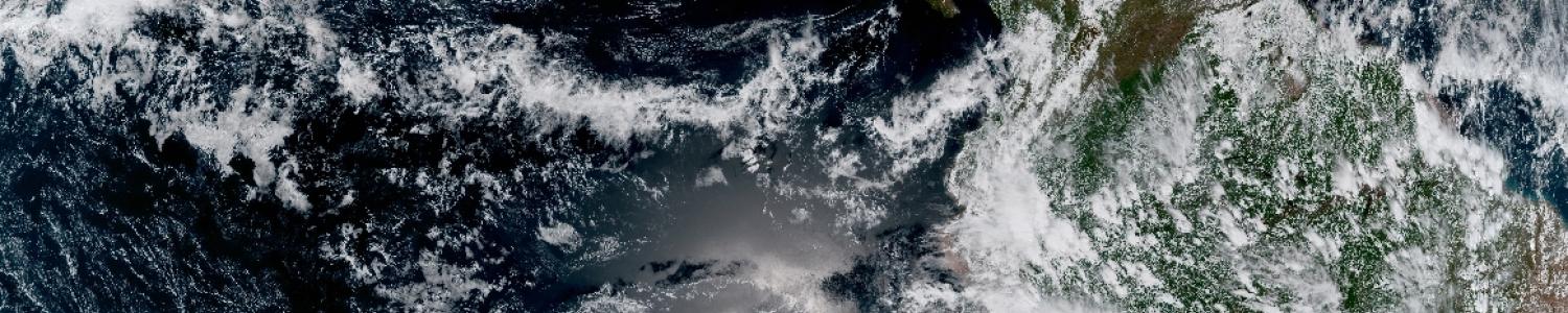
The following webinar focuses on the Geostationary Lightning Mapper. Other subjects in this course include the Advanced Baseline Imager, Tropical Cyclones, Severe Storms, RapidScan Imaging, Aviation Products, and Multispectral RGB Components.
Translation of Our Instructional Materials

Translation of Our Instructional Materials
About this service
Since 2005, COMET has been translating key lessons into multiple languages and hosting them on the MetEd website, which is also available en español. Through the publication of over 150 Spanish and 75 French lessons, we’ve developed expertise in the translation of complex scientific materials. Our processes and approach to quality assurance are well respected throughout the World Meteorological Organization (WMO) community.
In addition, COMET developed the Translation Resource Center (TRC) to support the WMO community's efforts to expand the availability of training materials through translation. The TRC offers resources to guide a translation effort, and a forum to exchange ideas and resources. It contains the Guide to Translation Project Management, which was developed as a collaborative WMO Global Campus project by COMET and the Meteorological Service of Canada, with funding by NOAA's National Weather Service International Activities Office.
Storm Surge AR
Storm Surge AR
About this mobile app
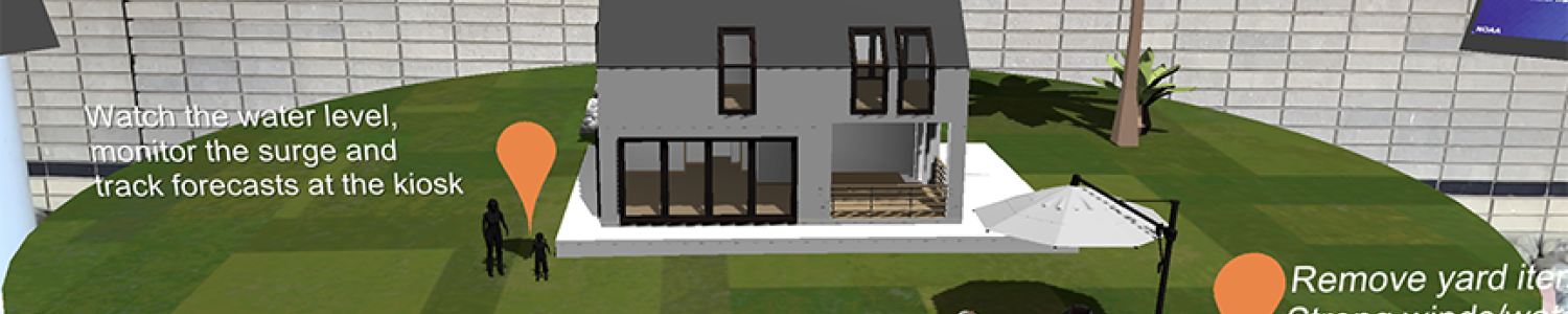
The COMET Program recently released Storm Surge AR, its first Augmented Reality app. This app allows you to see the potential impacts of hurricane storm surge inundation and visualize how it could affect your home. The app also offers helpful information about preparations prior to the arrival of a hurricane. To find the app, search for "Storm Surge AR" in the Apple App Store and Google Play.
The COMET AR Team designs and produces WebGL VR and headset VR/AR experiences (GearVR, GoogleVR, Oculus), as well as Android and iOS AR apps for mobile devices.
Do Science S2
Do Science S1
